
The Preparations.
The trip was prepared using Google Maps, a variety of French IGN maps (mostly in the 1:100,000 series) and numerous websites of various tourist offices along the route.
For example:
etc. (where ‘etc.’ means all the helpful links from these sites). This last site supplies free maps of the Canal de Garonne and the Canal du Midi.
I found the most informative and helpful source of information to be the af3v site (http://www.af3v.org/ ). This lists every official piste cyclable in France on a helpful interactive map and gives detailed information about the itinerary, the problems associated with it, the nature of the ride, photos and plenty of helpful indications about where else to find additional information.
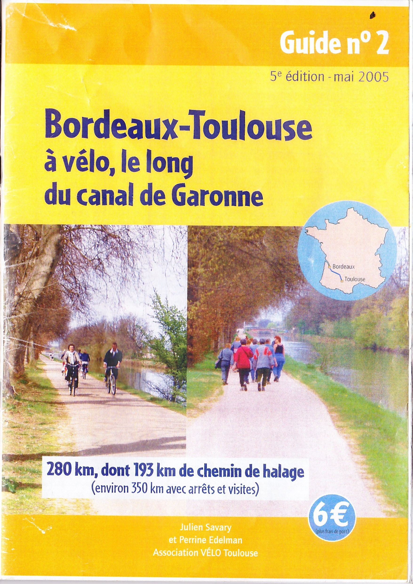
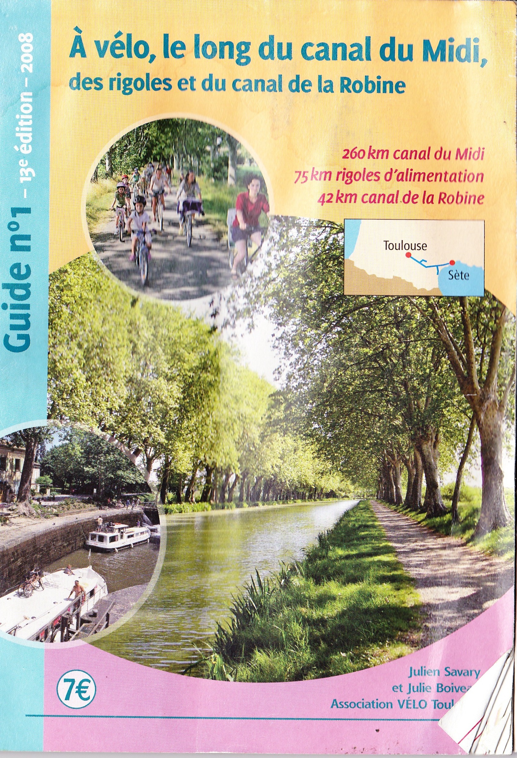
For the ride along the Canal de Garonne and the Canal du Midi I found these two publications very helpful:
- Bordeaux-Toulouse along the Canal de Garonne
- From Toulouse to Sète or Narbonne
They can both be obtained from this site:
and I believe that updated versions now exist. The most helpful aspect of these publications are the lists of accommodation possibilities, restaurants and places of interest en route.